- California Assembly OKs highest minimum wage in nation
- S. Korea unveils first graphic cigarette warnings
- US joins with South Korea, Japan in bid to deter North Korea
- LPGA golfer Chun In-gee finally back in action
- S. Korea won’t be top seed in final World Cup qualification round
- US men’s soccer misses 2nd straight Olympics
- US back on track in qualifying with 4-0 win over Guatemala
- High-intensity workout injuries spawn cottage industry
- CDC expands range of Zika mosquitoes into parts of Northeast
- Who knew? ‘The Walking Dead’ is helping families connect
Storm expected to arrive late Thursday in LA area

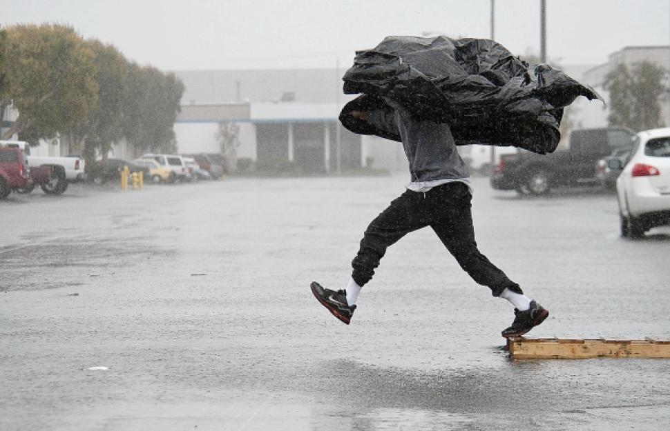
Forecasters said the storm, while shorter than last week’s rain event, could dump more of the wet stuff on the region. (AP)
GLENDORA (CNS) – The storm is expected to arrive in the Los Angeles area late Thursday and continue through Friday.
National Weather Service forecasters said the storm could dump 1 to 2 inches of rain on coastal and valley locations, and 2 to 4 inches in foothills and mountains. The rain will accompanied by strong winds and mountain snow.
“This weather system will also bring a slight chance of thunderstorms to the region, where there will be the potential for brief high-intensity rainfall, small hail and gusty winds,” according to an NWS statement. ”Rainfall rates between one-half and three-quarters of an inch per hour will be possible with the cold front and thunderstorm development.”
Forecasters said the storm, while shorter than last week’s rain event, could dump more of the wet stuff on the region.
A flash flood watch will be in effect in Los Angeles County mountains and the Antelope and San Gabriel valleys from late Thursday into Friday for recent burn areas, with forecasters noting that showers and thunderstorms could linger after the brunt of the storm system passes.
“Due to the potential for intense rainfall along the cold front, and with the showers and thunderstorms behind the front, there is the possibility of dangerous flash flooding and mud and debris flows in the recent burn areas of Ventura and Los Angeles counties,” according to the NWS.
A flood watch will also be in effect in Orange County, particularly in the Silverado Canyon burn area on Friday and Friday night.
Forecasters also noted that powerful winds can be expected, with gusts of more than 70 mph possible in the mountains, and gusts between 35 and 50 mph in coastal and valley locations.
Snow levels, meanwhile, will initially be above the resort level, but dip to about 5,000 feet on Friday afternoon.
“There could be a brief mix of rain and snow at the summit of the Grapevine on Interstate 5, however, no accumulations are expected,” according to the Weather Service.
Snow accumulations in upper mountain elevations could reach up to 10 inches, forecasters said.


Pingback: California residents load up sandbags before big storm – SunHerald.com | HNP
Pingback: THE WHITE STUFF: The anticipated storm is here in earnest – Wayne Post | HNP